
HEATSAT
Checkout the application live here: HEATSAT. The site is not ready for mobile yet, so please try to view it on a desktop.
Overview of My Submission
My submission is a web application that scrapes and parses heat satellite data from INPE and stores it in a time series database per region. A region can be any GeoJSON delimited block of land. Once a heat reading has been assigned to a region, it can be visualized on a map. You may also query a region to see how many heat readings it had this month, as well as if that is an increase from last month.
New data comes in every 10 minutes - 24/7 and the application ingests about 200 to 300 heat readings each day! The MongoDB time series database feature was crucial in ensuring all of this data is queried quickly by timeframe and by region. This is because data is stored efficiently by region and by timestamp. You can learn more about time series databases here.
Here are a few feature demo gifs:
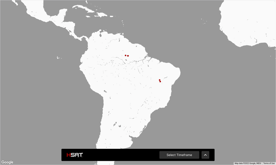
Browse heat data on a map.
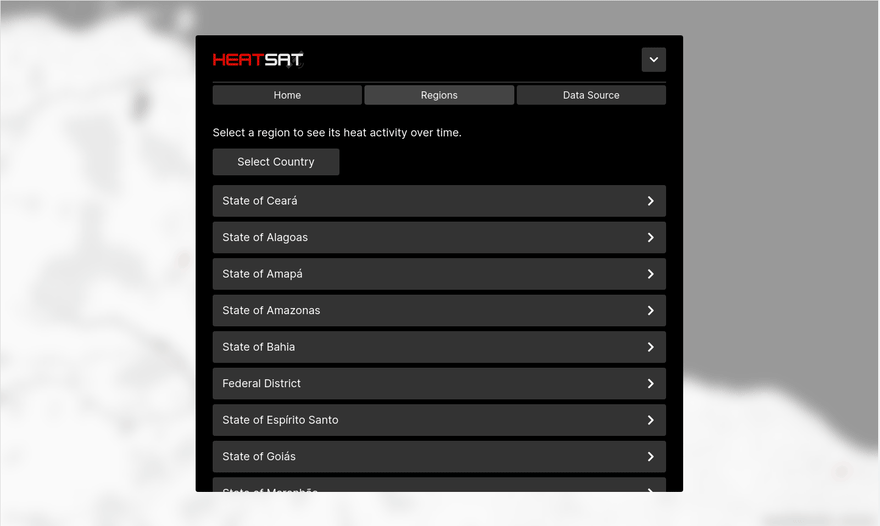
List regions.
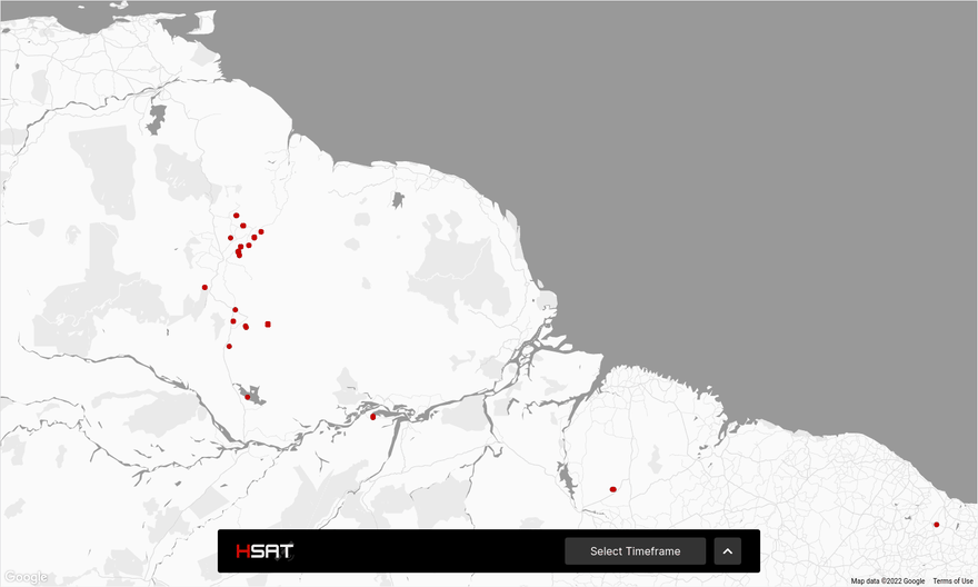
View a region on a map, as well as its stats.
Submission Category:
This project is under the Prime Time category.
Link to Code
 yvesnrb
/
heatsat
yvesnrb
/
heatsat
Track wildfire satellite data in South America. Atlas + Dev.to Hackaton 2021 project.
HeatSat
More information soon.
Additional Resources / Info
Special thanks to:

Top comments (0)